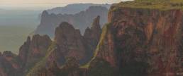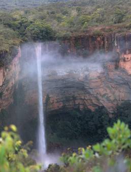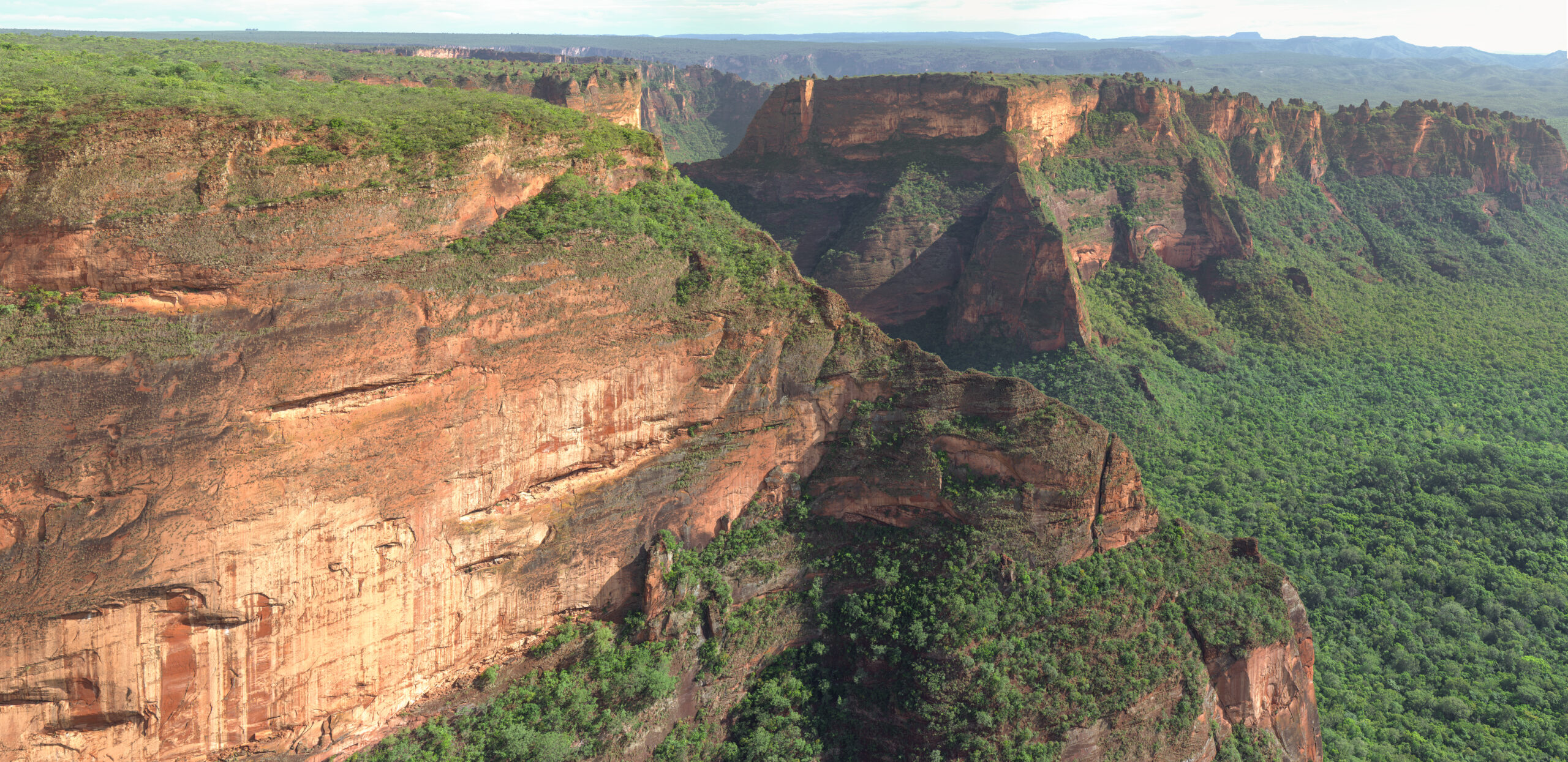
This is a tiny fraction of the plateau which is the water source for Pantanal in Brazil – the largest wetland in the world.
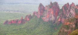
A major reason this has managed to stand against the forces of agricultural interests is the incredible rock formations and sheer cliffs, of which only a tiny portion is seen in this panorama – made of around 180 images.
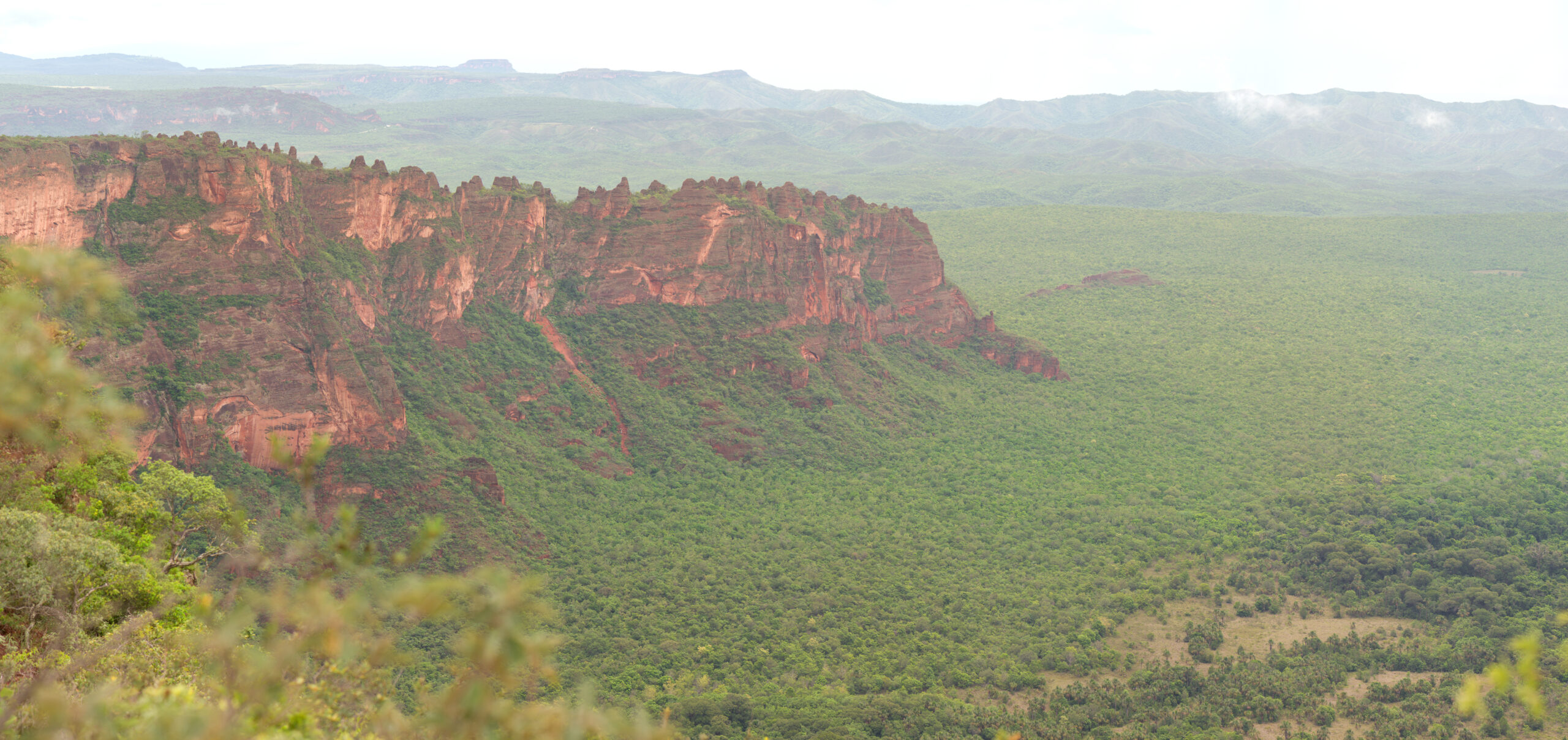
The forest you see on the the floor was until very recently farmed and logged, and it has been a battle to protect and thus enforce conservation for this miniscule corner of the Cerrado. More than 90% of the Cerrado of Brazil has been lost to enormous farms, with it flora and fauna found nowhere else on Earth has been lost.
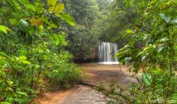
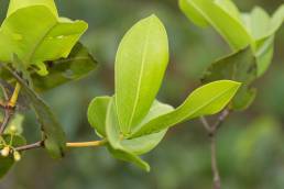
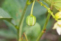
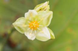
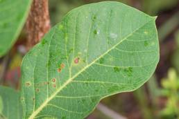
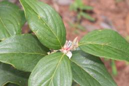
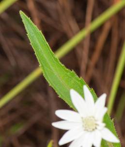
The plant diversity is incredible, and I found so many sweet fruits and sweet scented flowers here. Unfortunately this haven is now surrounded by farms using pesticides, and these toxins are now having an impact on life inside this park. In recent years the insect population has plummeted, and the surrounding farms is the primary suspect.
Visiting this location has been exceptionally difficult in the last decade, as the park authorities have locked down almost all services in the park, due to several incidents with Brazilians for the most part.
They change the rules so frequently that the local tourist industry is unable to function. In fact I was exceptionally lucky to even get to this vista, as it was supposed to be closed off. The park authorities did not allow me to stay later than around 16:00, or in other words do not allow visitors to experience the best hours of the day – dusk and dawn.
Very strange management of a place that needs global attention!
This part of the park is called Cidade de pedra in Portuguese.
-15.2997,-55.8406
Last updated on 22 April 2023